

Published on October 19 2026 In Scientific news
Mapping Marine Currents to Protect the North Atlantic Right Whale
An article written by Valérie Levée, scientific journalist
During the summer of 2017, ten North Atlantic right whales were found dead in the St. Lawrence Gulf following interactions with fishing gear. With a population of only about 350 individuals, this species is critically endangered. To help protect it, scientists need to understand where right whales live and where they feed. Andéol Bourgouin, a Ph.D. candidate in oceanography at Université Laval, studied the North Atlantic right whale by tracking marine currents and, in turn, the crustaceans on which it feeds. Supervised by Frédéric Maps, professor in the Department of Biology at Université Laval, Bourgouin recently published the results of this research in Limnology and Oceanography.
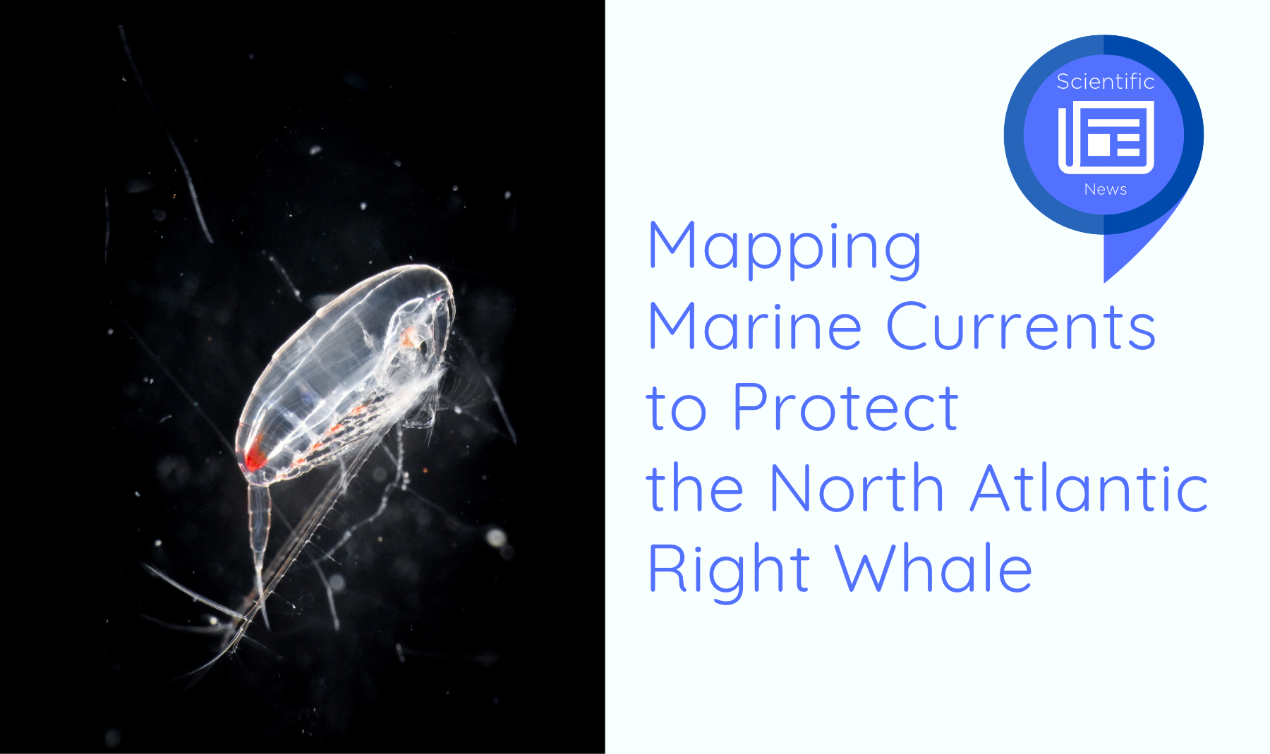
North Atlantic right whales spend their summers in northern waters and migrate to the coasts of North Carolina and Florida to calve during the winter. Because they feed very little during the winter months, they must build up energy reserves before migrating south. During summer, they feed intensively on copepods, tiny crustaceans that also accumulate fat reserves before entering winter diapause. Although copepods are only about the size of a grain of rice, right whales, which can exceed 10 metres in length, must consume enormous quantities of them to meet their energy needs. As a result, whales seek out areas where copepods are particularly abundant. However, copepods are planktonic organisms, meaning they drift with ocean currents.
“One way to determine where plankton is likely to be is to understand where ocean currents concentrate it in sufficient quantities to attract whales,” explains Andéol Bourgouin.
In reality, the situation is somewhat more complex. Ocean currents do not all flow in the same direction, and their intensity and depth can vary considerably. In addition, copepods can move vertically through the water column depending on factors such as species and developmental stage. “Because copepods occupy different depths, they are transported differently by ocean currents, creating complex aggregation patterns,” adds Frédéric Maps, who is also the Scientific Co-director of Québec-Océan.
Modelling Copepod Aggregations
To visualise these patterns of copepod distribution, Andéol Bourgouin used an ocean circulation model developed by Environment and Climate Change Canada and incorporated the vertical movements of copepods into it. The resulting maps identify areas where copepods are likely to accumulate as a consequence of both ocean currents and their vertical behaviour. The model suggests that the most favourable feeding habitats for North Atlantic right whales occur deep within the water column, where copepods tend to accumulate near the seafloor. However, Bourgouin stresses an important limitation: “Our model does not demonstrate that copepods or right whales are actually present in these locations. Rather, it indicates that, if copepods are present in the region, oceanographic conditions make these areas favourable for their aggregation.”
To evaluate the model, the researcher compared predicted copepod aggregation zones with observations of North Atlantic right whales in the Gulf of St. Lawrence. Statistical analyses revealed a significant correlation between whale sightings and areas where the model predicted copepod aggregations. Conversely, whales were rarely observed in areas where no such aggregations were predicted.
Ultimately, the model cannot predict the precise location of right whales. Instead, it identifies areas where ocean currents are likely to concentrate copepods, provided these organisms are present in the region, thereby helping to infer where whales may be found.
Protecting Whales by Studying Ocean Currents
Knowing where North Atlantic right whales are likely to occur could help authorities better regulate fishing activities and reduce the risk of entanglement.
Continuously monitoring the entire Gulf of St. Lawrence for whale presence is not realistic. However, mapping potential feeding habitats based on ocean currents could significantly reduce the area requiring surveillance. By identifying likely feeding grounds, monitoring efforts can be focused using aerial surveys, satellite observations, or underwater hydrophones. “Mapping dynamic potential copepod aggregation zones allows whale detection efforts to be targeted more efficiently,” summarises Frédéric Maps.
This approach could also be applied to other species, such as the bowhead whale, which likewise feeds on Arctic copepods.
Affiliation (Frédéric Maps)
- Institut nordique du Québec
- Takuvik
- Québec-Océan
Further Reading
Bourgouin, A., Record, N. R., Cotté, C., and Maps, F. (2026) Whale foraging seascapes: Advective prey aggregation mechanisms predict North Atlantic right whale foraging grounds. Limnology and oceanography, 71(6)e70403
https://doi.org/10.1002/lno.70403
Back to news