Published on April 29 2025 In Scientific news
Scientific News | Linking infrastructure and climate risks
An article by Valérie Levée, science journalist
The Quebec government is counting on hydroelectricity and the exploitation of critical minerals for Quebec's energy transition and decarbonization. However, mining and hydroelectric infrastructures are themselves subject to the vagaries of the climate. Hence ARRIMÉ (Aléas, Risques et Résilience des Infrastructures Minières et Électriques du Québec), initiated to understand and prevent the risks associated with precipitation, flooding and high winds; a project led by Philippe Gachon, professor at UQAM's Department of Geography.
In January 1998, an ice storm plunged more than 3 million Quebecers into darkness. The ensuing "ice storm crisis" will always be remembered, but most of the blackouts were caused by wind gusts and trees falling on power lines. Hydro-Québec can't see these storms coming because the weather models used by Environment Canada are not accurate enough. Nor does Hydro-Québec have access to a good forecast of the heavy rains and flash floods that could threaten its infrastructure, which was built in the 1960s when climate change was not yet a concern. In December 2023, the residents of Chute Saint-Philippe were forced to evacuate because of weaknesses in the Morier dike upstream of the village. The Ministère de l'Environnement, de la Lutte contre les changements climatiques, de la Faune et des Parcs (MELCCFP), which owns the dike, is anxious about the impact of climate change on its own structures. The mining industry is also concerned about heavy rainfall because tailings management facilities were not designed with climate change in mind. If storm water is not contained in the tailings facilities, overflows could contaminate the environment.
Refining the models
The weather and climate models used by Environment Canada are still not precise enough to predict where, when and with what force the resulting wind gusts, intense precipitation and flash floods will strike. Although they have been refined over the years, the 10 km resolution used for medium- and long-range forecasts does not take into account local terrain characteristics. While meteorology depends on the circulation of air masses, it is also affected by interactions with the surface. For example, valleys affect wind patterns, mountains receive more precipitation than flat terrain, and vegetation cover affects temperature, humidity, and winds.
"The more we refine the model, the more we can capture regional and even local effects, and account for the exchange of water and energy between the surface and the atmosphere. And the warmer the climate, the more important these fine-scale exchanges are," explains Philippe Gachon.
That's why Hydro-Québec sought the expertise of the Centre pour l'étude et la simulation du climat à l'échelle régionale (ESCER) to initiate the ARRIMÉ project:
"Hydro-Québec wanted better information at the scale of its watersheds on the probable maximum precipitation that could cause flooding and affect its infrastructure, and it knew that ESCER was developing a very high-resolution regional climate model," continues Philippe Gachon. The MELCCFP and the mining industry also joined the project.
Under the microscope of high resolution
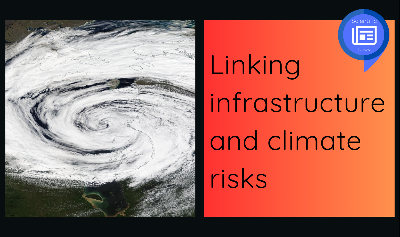
The models developed by ESCER have a resolution of 2.5 km, and at this scale they see what previous models have never seen, namely that northern Quebec is subject to very high meteorological variability. The vast expanse of water in Hudson Bay generates very intense storms and winds. "It is like small cyclonic systems, you can see an eye in these systems," describes Philippe Gachon. Climate change is altering the ice cover, and changing sea surface conditions are affecting storms, which could become more frequent at certain times of the year. On land, the winds themselves vary according to relief and vegetation. In the north, where taiga gives way to tundra, winds are more intense. The scale of the models developed by ESCER also makes it possible to consider the convection phenomena of storm cells, showing more intense precipitation and winds than low-resolution models. Spatial accuracy also brings temporal accuracy, as high-resolution models see the development of thunderstorm cells over the course of the day and better reproduce the associated diurnal precipitation cycle.
Infrastructure Assessment
This improved spatial and temporal predictability should enable us to better understand the risks posed by intense precipitation and wind to hydroelectric and mining infrastructure. Since it is the combination of wind and intense precipitation that poses the greatest threat to infrastructure, ESCER is continuing its research to identify the storms that generate this combination of hazards. As the project continues, engineers will be able to use this information to adapt existing infrastructure and better design the infrastructure of tomorrow. This could include resizing levees, adjusting spillways, increasing upstream water storage capacity, burying the most vulnerable power lines...
To learn more
Benoit, C., Demers, I., Roberge, F., Gachon, P. and Laprise, R. (2022). Inondations des printemps 2017 et 2019 dans le bassin versant de la rivière des Outaouais (Québec, Canada) : analyse des facteurs physiographiques et météorologiques en cause. In : T. Buffin-Bélanger, D. Maltais and M. Mario Gauthier (Eds.), Les inondations au Québec : risques, aménagement du territoire, impacts socioéconomiques et transformation des vulnérabilités (pp. 29-58). Presses de l’Université du Québec.
Llerena, A., Gachon, P. and Laprise, R. (2023). Precipitation Extremes and Their Links with Regional and Local Temperatures: A Case Study over the Ottawa River Basin, Canada. Atmosphere, 14(7), article 1130. http://dx.doi.org/10.3390/atmos14071130
Moreno-Ibáñez, M., Laprise, R. and Gachon, P. (2023). Analysis of the Development Mechanisms of a Polar Low over the Norwegian Sea Simulated with the Canadian Regional Climate Model. Atmosphere, 14(6), article 998. http://dx.doi.org/10.3390/atmos14060998
Moreno-Ibáñez, M., Laprise, R. and Gachon, P. (2023). Assessment of simulations of a polar low with the Canadian Regional Climate Model. PLoS ONE, 18(10), article e0292250. http://dx.doi.org/10.1371/journal.pone.0292250
Roberge, F., Di Luca, A., Laprise, R., Lucas-Picher, P., and Thériault, J. (2024). Spatial spin-up of precipitation in limited-area convection-permitting simulations over North America using the CRCM6/GEM5.0 model. Geoscientific Model Development, 17(4), 1497-1510. https://doi.org/10.5194/gmd-17-1497-2024
Back to news